
Hamilton County Neighbors by Block
For Hamilton County neighbors, start with a selected address and distinguish the question being asked. GIS can show the parcel pattern and street orientation. The Assessor can show a public parcel or situs record. The Register can provide a dated instrument trail. Election tools provide precinct geography. Neighborhood associations and community-resource pages describe civic connections, not a list of people in nearby homes.
| Source | What It Shows About a Block | Access |
|---|---|---|
| Hamilton County GIS parcel layer | Parcel geometry, street orientation, address context, and map layers | Map service; current standalone identify fields need recapture |
| Hamilton County Assessor | Public parcel, situs, and owner-role record | Street, number, parcel, or owner query |
| Register of Deeds | Recorded instrument roles and legal-document trail | Account route, office, or targeted request |
| Election Commission precinct tool | Precinct and polling-place geography | Address, precinct, or polling-place search |
| Neighborhood association sources | Registered civic-group and district-contact context | City association resources and public announcements |
Adjacent parcels are mapped objects. An Assessor owner label is a property-record role. Neither source establishes that a particular person occupies a subject parcel or the parcel next to it.
Hamilton County Neighbors Parcel Flow
The useful block method is address to parcel, parcel to adjacent geometry, then a limited check of public record roles. It is not a person-by-person scan. The current GIS map service exposes addressing, streets, parcels, boundaries, FEMA layers, and municipal zoning layers. Research did not capture a current standalone viewer’s field order or an actual identify result, so those result fields should not be guessed.
- Normalize the address with USPS and retain the street number, directional, suffix, municipality, and ZIP separately.
- Use the county GIS service to locate the address point or parcel and inspect touching parcel polygons and street names.
- Use the Assessor only to record a nearby parcel’s public owner or situs role exactly as displayed.
- Use the Register’s book/page, party, property, or document route for a dated instrument question, not to infer occupancy.
- Stop when the question shifts from block geography to a legal or title issue.
The Hamilton County GIS parcel and address map service is shown in this capture.
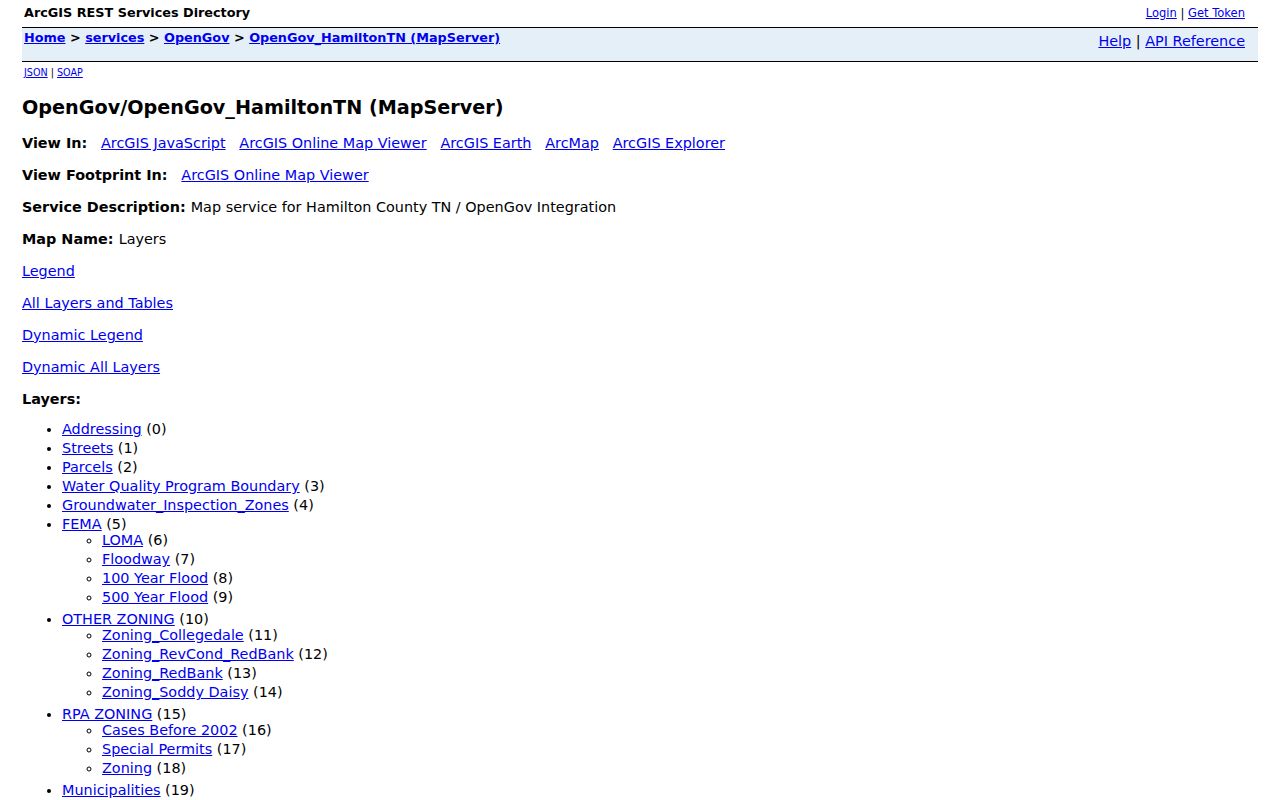
This service supports parcel and address geography. Its visible layers are not a legal survey and do not identify people who occupy the mapped parcels.
For the broader record chain along one named road, use the Hamilton County By Street directory. That workflow is different from the immediate-block approach used here.
Hamilton County Neighbors Map Layers
Hamilton County GIS is especially useful when one address sits near several overlapping geographies. Addressing and street layers give location context. Parcel layers give geometry. ZIP, municipal, zoning, flood, and boundary layers explain separate map roles. The county mapbook also places county grid, roads, post offices, schools, cemeteries, hospitals, and public-safety symbols in a larger setting.
Some map layers update every two years or more. GIS states that its available data does not include utility files. That boundary is important: a map can be useful without being a complete record of every service, property interest, or person connected to an address.
Note: Preserve the layer name and source date because an address can fall within different ZIP, precinct, municipal, and parcel geographies.
Hamilton County Neighbors and Associations
Chattanooga reports more than 100 registered neighborhood associations. These are volunteer civic groups, not membership or household directories. The association resource routes contacts by City Council District. For a county address outside Chattanooga, use the appropriate municipality or county office instead of assuming that a city association covers the address.
The Chattanooga neighborhood-association directory is the public starting point for civic-group context.
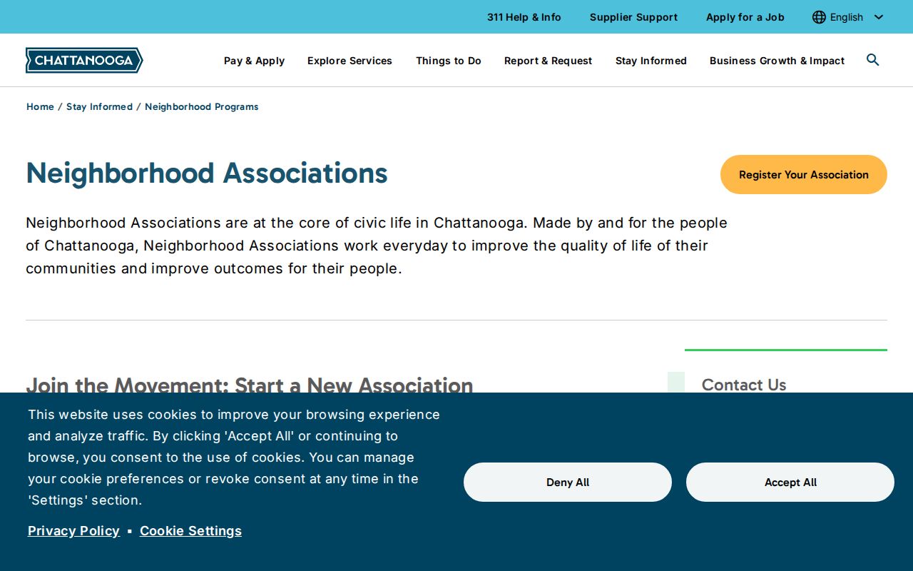
Association registration and public contacts can route a question about community history or civic activity, but they do not identify all people on a block.
| Association context | Public source role | Boundary |
|---|---|---|
| Registered neighborhood association | Volunteer civic organization and district-contact route | Not a member roster |
| Neighborhood Action Grant recipient | Time-stamped civic-activity reference | Not proof of membership or residency |
| Community advisory region | Service-navigation geography | Not an official neighborhood boundary |
Hamilton County Neighbors Civic Names
Chattanooga’s 2025 Neighborhood Action Grant announcement named 35 associations. Examples include Baker Hilltop, Battery Heights, Belvoir, Brainerd Park, Bushtown, Churchville, Clifton Hills, Historic St. Elmo, East Lake, Eastdale, Glass Farms, Glenwood, Hill City, Missionary Ridge, North Chattanooga, Orchard Knob Neighborhood Watch, Ridgedale, South Brainerd, Talley Center, and Washington Hills. It is a dated civic inventory, not a map of household membership.
The city’s Neighborhood Services page provides the broader registration and support context.
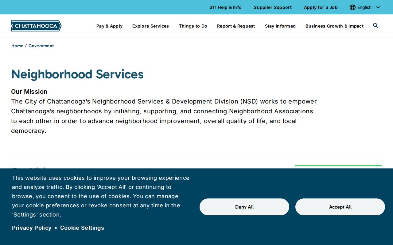
Use a group name to locate the relevant public program or history source, then verify the area and date before attaching it to a block.
Hamilton County Neighbors Community Geography
Community-service areas are another useful layer, but they are not a roster. Chattanooga’s advisory-committee material groups areas such as Lookout Valley, Shallowford, North Chattanooga, South Chattanooga and East Lake, Bushtown and Glenwood, Hixson, and Washington Hills. These labels can help route a local-history or service question while leaving individual residences out of the result.
The 2026 East Lake Community Resource Hub announcement documents a service-navigation initiative.
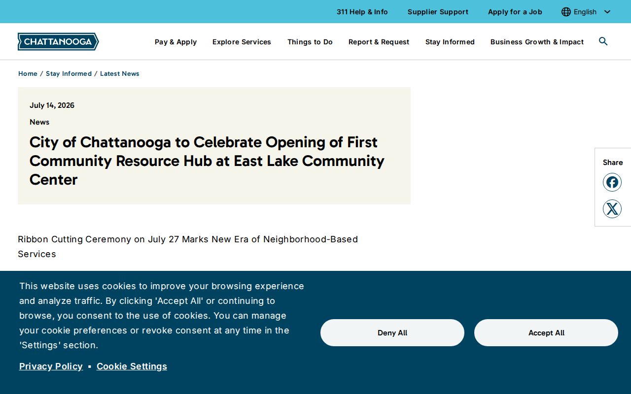
The first hub is a service location and part of a planned network. It is not a visitor list or a measure of who lives in East Lake.
Hamilton County Neighbors Source Comparison
Official record routes and commercial neighbor tools answer different questions. The official paths name the custodian and show the record role, even when access is partial. Unofficial commercial tools may combine old source material without a clear capture date or a reliable role label. Neither category should be used to assert current occupancy.
| Source type | Useful for | Limit to preserve |
|---|---|---|
| Official GIS and Assessor records | Parcel geometry, situs, and owner-role context | Not proof of occupancy or a household list |
| Register instrument records | Dated legal-document party trail | Not a present-address or title conclusion |
| Official precinct and association sources | Civic geography and public group context | Not a list of voters, members, or nearby households |
| Commercial neighbor tools | General lead only, if independently verified | Uncertain freshness, source history, and identity matching |
When a name appears, retain the office, date, source, and role. That makes the difference between a documented record and an inference about a neighbor.
Hamilton County Neighbors Historical Block Context
A block question sometimes belongs in historical research rather than a current parcel view. Chattanooga Public Library holds city directories from 1871 through 2008, with no issues located for 1873 through 1875, 1877, and 1879. It also holds maps, newspapers, deeds, cemetery inscriptions, and an obituary index beginning in 1873. These records can place a name, address, or institution in a dated setting. They do not establish who is on the block now.
Use a dated record trail when a parcel boundary alone is not enough: current parcel geometry, a Register instrument role, a directory year, then a period map or newspaper. Compare the legal description and source date rather than assuming a modern street label carried backward without change. If a parcel was split, a subdivision changed, or an old address differs, flag the gap instead of filling it with a guess.
Chattanooga Public Library accepts reference questions by email, phone, mail, or in person, and may provide a remote scan or photocopy of noncirculating material for a quoted fee. UTC Special Collections provides finding aids, digital collections, appointments, virtual visits, digitization requests, and archivist questions. CPL and UTC stopped supporting PastPerfect Online on March 1, 2025, so an old collection link may need to be rerouted through the current UTC finding-aid or digital-collection destination.
This historical route is useful for neighborhood history and an address timeline. Keep the entry year, collection, source format, and record role with each observation, and do not turn a historic directory line into a present-neighbor claim.
Hamilton County Neighbors Precinct and Jurisdiction
The Election Commission precinct breakdown can search by address, precinct number or name, or polling place, then export results. It is the right official path for “which precinct serves this address?” It does not provide a public street-by-household lookup. A county address may also fall under a city, a separate municipality, or unincorporated jurisdiction, so the custodian depends on the record type.
Chattanooga City Court and city records are municipal routes. County courts, Assessor, GIS, and Register records are county routes. Keep that jurisdiction line visible when comparing an address with a civic source.
Hamilton County Neighbors Privacy Limits
A nearby parcel is not a list of the people who live there. Do not infer an occupant, delivery recipient, protected voter, confidential address participant, or family relationship from a mapped parcel, name match, or postal label. Tennessee Safe at Home provides eligible crime victims a substitute address and confidential voter treatment, subject to statutory exceptions. That protection must never be reversed through a block search.
Public research should minimize what is retained, keep a source date and role, and ask the source custodian about a correction, redaction, or restriction. A historical directory, deed, court party, or voter match remains a dated record role, not a current-neighbor claim.
Lawful use. Use Hamilton County block and community sources for personal, lawful research, civic context, and local history. Do not use any source to stalk, harass, intimidate, or harm anyone.