
Hamilton County Street Directory Trail
A good address trail moves from the address to the Assessor, then to the owner label, the Register Book/Page reference, voter or precinct geography, and a historical criss-cross route when the date matters. Keep the original street spelling and a standardized version. House number, unit, directional, street suffix, municipality, ZIP, parcel, and source date should remain separate fields. That prevents a postal change or a parcel split from being mistaken for a new household.
- Enter the address in the USPS lookup and county systems using the street number, directional, name, suffix, municipality, and ZIP.
- Search the Hamilton County Assessor by Street Name and Street Number. Record the parcel, situs, owner label, and displayed Book/Page value.
- Open GIS for the parcel, address point, street, ZIP, municipality, and precinct context.
- Use the Register's Book & Page, Party, Property, or Document search to identify the recorded instrument and the grantor or grantee role.
- Use the Election Commission precinct tool for address geography, not a household search.
- For a prior era, compare the street with dated criss-cross directories, maps, newspapers, and deeds.
This Hamilton County street directory workflow is deliberately narrow. It helps document a parcel and an address trail without treating a property record as a list of everyone at the location.
Hamilton County Assessor Address Fields
The Hamilton County Assessor property search has four optional text fields. One complete field is enough to search, and more fields narrow the result. Use Street Name alone to begin a by-street view, then add Street Number for one location. The visible Northshore Drive example shows parcel or map identifier, situs address, owner name, year, appraised value, square footage, type, sale date, sale price, and a Book/Page value. It is an Assessor result, not a deed or title conclusion.
| Assessor field | Type | Research use |
|---|---|---|
| Street Name | Optional text | Street or abbreviation; supports a broad street result set. |
| Street Number | Optional text | House number; narrows a street query. |
| Parcel | Optional text | Examples: 139 001.01 or 129P B 010. |
| Owner | Optional text | Owner label search; the official example uses Doe John. |
Search the Assessor screen first, then copy the portal labels precisely. A parcel may have multiple owners and an owner label can differ from the correspondence address. The property roll is useful for a Hamilton County street directory because it ties an address to land, not because it establishes present occupancy.
The official Assessor controls are shown in this capture.
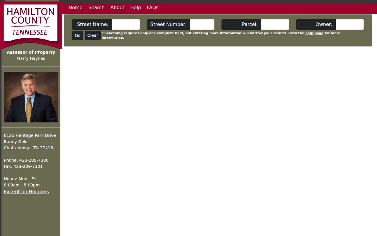
Street Name and Street Number are separate controls, which makes it possible to narrow a street search without guessing a parcel identifier.
Hamilton County Situs and Parcel Context
A situs address is the mapped physical property location shown in an Assessor result. It can differ from the tax-bill or correspondence address. The legal description in a recorded instrument can use lot, block, subdivision, metes and bounds, or another form that does not match the street label exactly. A postal address is the USPS delivery-standard form. An E-911 or address-point value serves emergency or mapping work. These forms should not be merged into a claim about a person.
GIS adds address points, parcel geometry, streets, flood and zoning layers, municipal and political boundaries, post offices, schools, and map-grid context. It is not survey-grade. GIS also states that utility files are not among its available data. County E-911 addresses are assigned by GeoSpatial Technology except in Soddy-Daisy, where the city is the documented exception. Confirm an addressing issue with the proper city or county authority.
The Hamilton County map service provides the parcel and address-layer route.
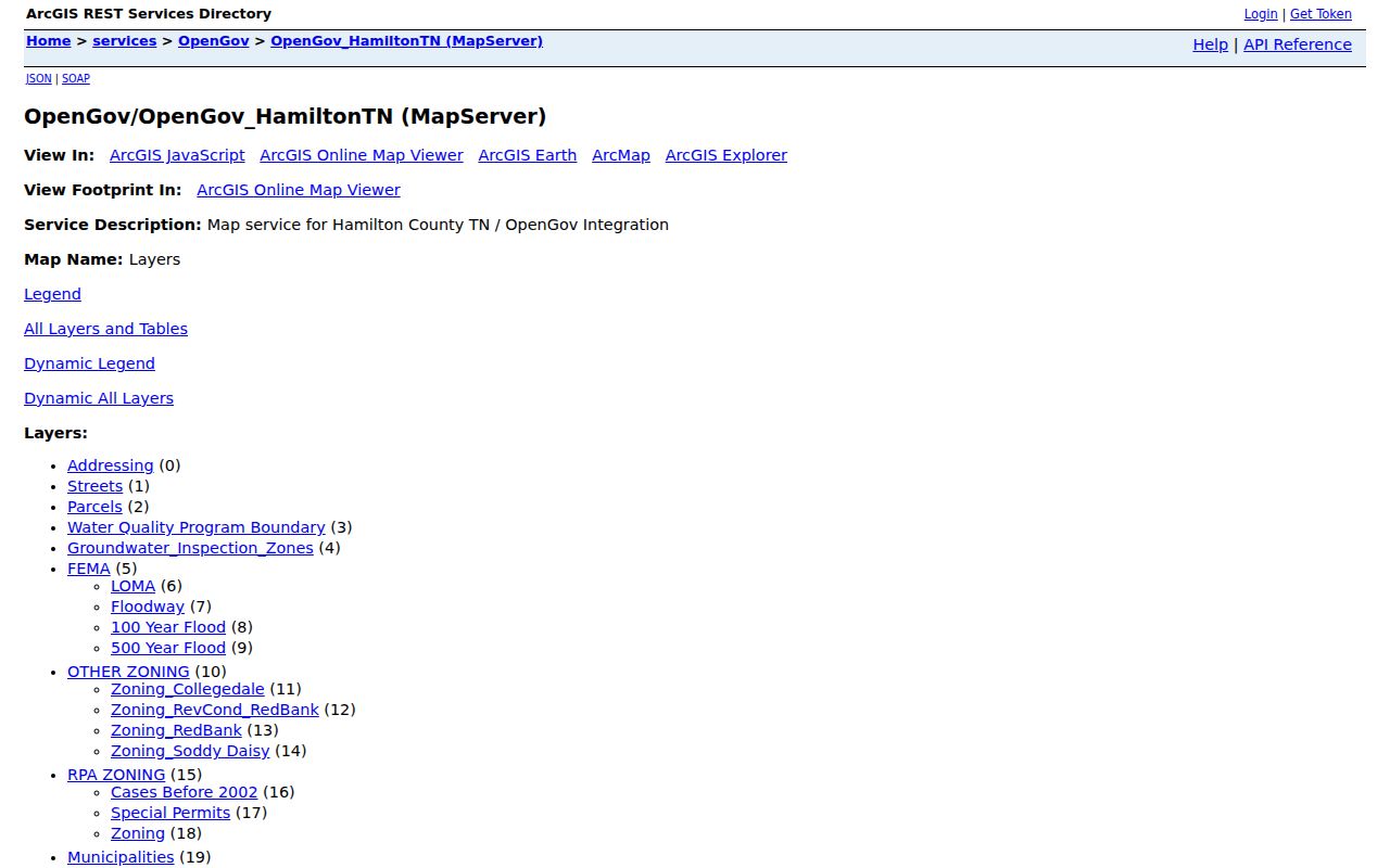
The map service supplies spatial context for a street directory search, while a current viewer's identify-result fields still require confirmation.
Note: Parcel geometry and an address point locate mapped features; neither identifies people at the property.
Hamilton County Street Map Context
Hamilton County's mapbook is a way to read an address in place, not a people index. Its county grid runs from 1 through 204 and maps roads, municipalities, city halls, post offices, schools, cemeteries, hospitals, and public-safety symbols. Those layers can help distinguish a postal place name from the actual city or county jurisdiction that should hold a defined record. They can also help explain why one street crosses a municipal or precinct boundary.
For spatial data beyond the public view, GIS documents a custom map and data-request route. Its published data includes parcel polygons and tabular Assessor information, streets, boundaries, flood zones, index grids, and civic layers. The research capture did not confirm a current standalone parcel-viewer result layout, so record the map layer and access date instead of promising a particular result field. A street layer supplies geography, not household information.
Hamilton County Street Directory Records
Address-keyed sources serve different purposes along a Hamilton County street. Use each result for the field it actually returns, and preserve its date. The Register is the source for recorded instruments. GIS is the source for spatial context. Election tools route an address to precinct geography. Historic directories provide a dated address listing, not a present-tense one.
| Address source | Search key | Displayed clue | Important limit |
|---|---|---|---|
| USPS address lookup | Street, unit, city, state, ZIP | Standard mailing form and postal city | Does not confirm a person, company, or ownership. |
| Assessor | Street name/number, parcel, owner | Situs, parcel, owner label, values, sale and Book/Page | Not occupancy or title proof. |
| GIS address and parcel | Address point, parcel, map click | Geometry, ZIP, municipality, precinct context | Not survey-grade; current identify fields need recapture. |
| Register index | Party, property, document, Book/Page | Instrument party, date, Book/Page | Account and completeness limits; not an occupant list. |
| City directories | Name, address, year | Historical address and dated listing | Historical and incomplete for some years. |
| Election precinct | Address, precinct, polling place | Precinct and polling-place geography | Not a public household search. |
Municipal building-inspection and code routes can be relevant to a defined address record, but the current public permit result fields were not captured. Do not infer a searchable case database from the public municipality page. Use the city or county keeper for a specific record request.
Hamilton County Register Book Page
Insider tip: The Assessor's Book/Page value is the cleanest bridge from a street search to the Hamilton County Register. Search Book & Page, then retain the instrument date and the grantor, grantee, borrower, lender, trustee, beneficiary, attorney-in-fact, or signer role shown. Follow a prior reference only when the legal description and parcel history continue to fit the same research question.
The Register's online search is read-only, does not permit bulk extraction, and requires a $50 monthly account before access credentials are supplied. Search modes include Party, Document, Property, Quick Search, Book & Page, Party/Property, and Index. A party search can require several spellings. The separate Property Alert watches future indexing after enrollment, does not send retroactive results, and requires separate enrollment for alternate spellings.
The account boundary is visible on the Register's login route.
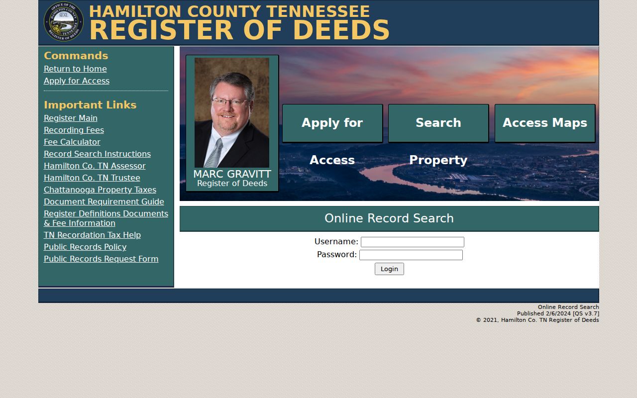
When online access is incomplete, request inspection or a copy from the Register by document, party, date range, instrument number, or Book/Page instead of asking for a compiled street report.
Hamilton County Register Office Access
The Register of Deeds records deeds, mortgages, plats, powers of attorney, marriage settlements, military discharges, and related instruments. The office is at 625 Georgia Avenue, Room 400, Chattanooga, TN 37402, phone 423-209-6560. The office page and request form provide alternatives to the portal. Inspection is free under the Register policy. Copies follow county policy, with estimates and prepayment where applicable; ordinary copies are listed as free and microfilm copies as $1 per page.
The Register policy extends access to all members of the public regardless of residency, while its request form asks about Tennessee residency. It offers inspection only, copies, on-site pickup, USPS, electronic delivery, or another specified delivery method. The office does not have to create a record, provide a title opinion, or answer a request by producing a report it does not maintain.
The Register office page identifies the office and the public access route.
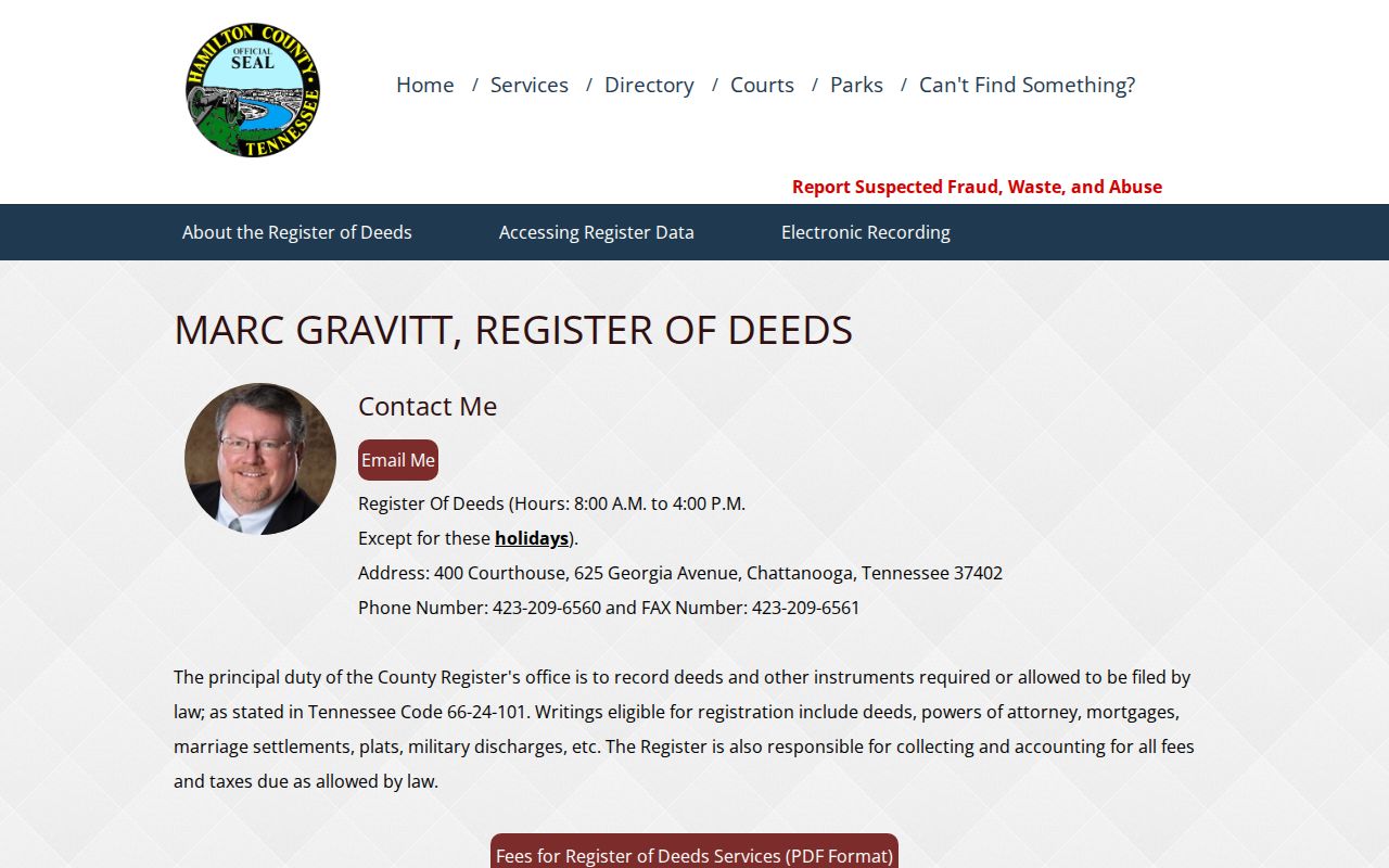
The office is the fallback when a needed image, bound book, or microfilm copy is not available through the account search.
Hamilton County Precinct Geography
Precinct data is a geography layer in a Hamilton County street directory, not a way to browse people along a road. The Election Commission's precinct breakdown can search by precinct number or name, polling place, or address, display the precinct card and polling place, and export results to CSV. District context includes County Commission districts, Chattanooga districts, and other election districts. Polling assignments can change, so use the current tool for a current election.
The statewide voter lookup requires county, first name, last name, birth month, and birth year. It is not an address lookup. The Hamilton voter-information request has additional identity controls, and a paid voter-list form has certification and permitted-use restrictions. Those systems must not be repurposed into a general street list.
Use the Hamilton County precinct breakdown for the address-to-precinct route.
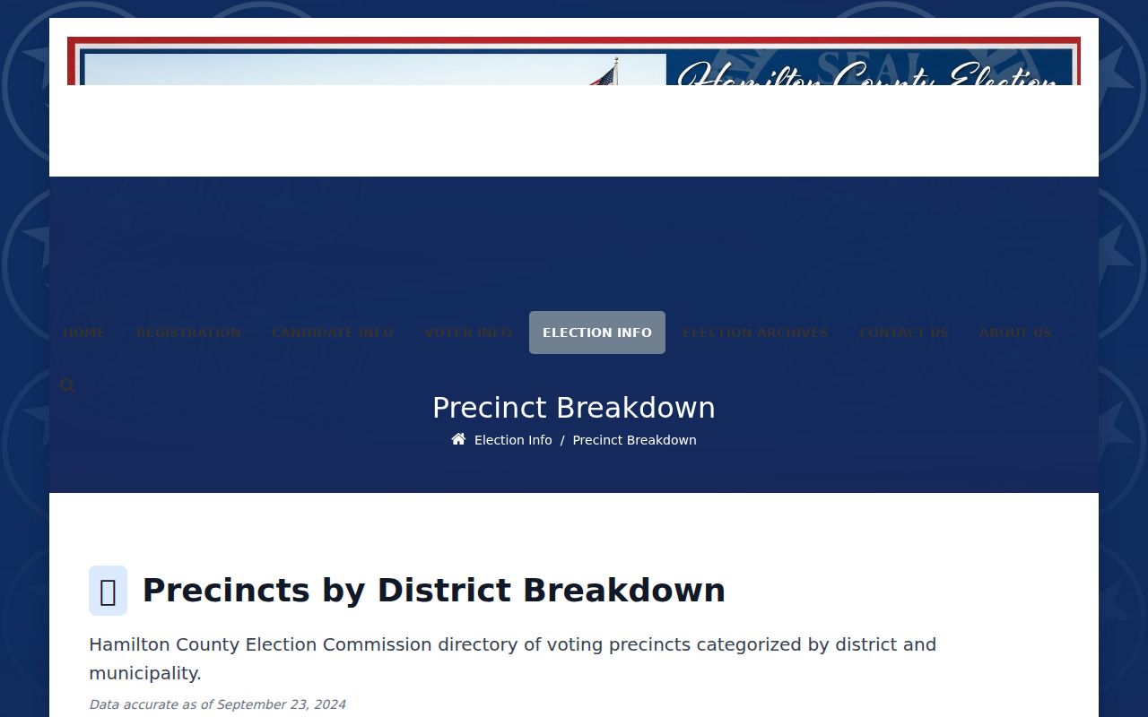
The address search helps distinguish election geography from parcel, ZIP, municipal, and neighborhood boundaries.
Hamilton County Street Directory Terms
Street records use short labels with distinct meanings. Keep the original label from the field or instrument when documenting a Hamilton County street directory search.
- Parcel
- A land identifier used to connect the Assessor record and GIS geometry.
- Situs address
- The mapped physical property location displayed by the Assessor, which can differ from a correspondence address.
- Plat
- A recorded map or plan that may show lots, blocks, streets, or a subdivision layout.
- Criss-cross directory
- A historical reverse directory used to investigate an address by year.
A legal description can remain stable while a street label changes. Compare lot, block, subdivision, map, parcel changes, and dated sources before carrying a record across eras.
Hamilton County Historic Street Evidence
Historic Chattanooga city directories run from 1871 through 2008, but not continuously. The known gaps are 1873-75, 1877, and 1879, and many early volumes are on microfilm. A missing issue should lead to adjacent directory years, deeds, tax records, newspapers, maps, or archival materials rather than a guessed address continuity. Sanborn, plat, and topographic maps can help compare an older block with a modern parcel, but they are not title surveys.
Chattanooga Public Library and UTC can provide directories, house-history material, newspapers, maps, finding aids, and historical collections. A dated criss-cross entry supports a dated connection to an address. It should be paired with the volume year and source, then checked against a deed or map where the street number, subdivision, or municipal boundary changed.
The CPL house-history guide illustrates the historical research route.
Use the library or archive when an older street label requires a dated map, directory page, or reference scan.
Hamilton County USPS Address Myth
Myth: A standardized postal address confirms a person or company at that address. USPS offers By Address, By City & State, and Cities by ZIP modes, but its result only standardizes a mailing form. The address form treats Company as optional, Street Address as required, Apt/Suite as optional, City and State as required, and ZIP as optional. None of those controls establishes ownership or current presence.
Use USPS for normalization. Use the Assessor for a parcel and situs clue. Use GIS for map context. Use the Register for a recorded-document trail. Keeping those sources separate is the practical protection against turning a by-address search into an unsupported claim.
Hamilton County Street Directory Limits
The Hamilton County street directory cannot show a complete household, private delivery details, protected voter information, driver or vehicle records, or utility account information. GIS does not include utility files, and its data is not a survey. Property owner and recorded-party roles are not current-occupant conclusions. The Tennessee Safe at Home program also protects eligible participants through substitute-address and confidential-voter mechanisms, subject to stated exceptions.
For an uncertain record, return to the custodian and ask for the specific non-exempt record, inspection, or copy. The Tennessee Public Records Act does not require a custodian to create a new compilation or answer an analytical question. It does provide a framework for requests and a seven-business-day access, denial, or timing explanation.