
Hamilton County ZIP Code Coverage
The Hamilton County GIS ZIP-layer legend says 29 ZIP codes are associated with county mapping. That count is a map-layer fact, not a promise that every code belongs wholly to the county or to one city. The researched cues below are examples for orientation. USPS must verify a live address, and the county GIS layer must answer county-map context.
| ZIP | Areas Covered | Post Office | Notes |
|---|---|---|---|
| 37363 | Ooltewah-area postal cue | Ooltewah | Verify the exact street with USPS. |
| 37379 | Soddy-Daisy and Lakesite-area cue | Soddy Daisy | Postal and municipal boundaries can differ. |
| 37421 | East Chattanooga, airport, and Hamilton Place-area cue | Chattanooga | Use an exact address for the current postal result. |
| 37311 | Cleveland-area postal cue | Verify with USPS | It can cross county research boundaries. |
| 37450 | Special or unique postal context | Verify with USPS | Do not assume a municipal label from the code. |
The table deliberately does not attempt a complete ZIP inventory. A ZIP code is a postal geography, not a county boundary, municipality, precinct, neighborhood, parcel, or proof that a person is at an address.
Hamilton County ZIP Code Directory Workflow
Use the ZIP code directory in an address-first sequence. First, preserve the street number, directional, street name, suffix, unit, city, state, and any known ZIP separately. USPS can standardize the mailing form. Then check the county address and parcel layers for geography. A property question may need the Assessor; a polling question needs the precinct tool; neither result should be folded into the postal answer.
- Enter the exact known address in the official USPS lookup and keep the returned postal city separate from the municipality.
- Compare the address with Hamilton County GIS for ZIP, parcel, street, and boundary context.
- Use the Assessor only when the question concerns the county parcel or situs record.
- Use the Election Commission precinct route only when the question concerns civic geography.
When a ZIP narrows a question to a street, use the Hamilton County By Street directory for the address-record chain rather than treating a postal code as an address history.
Hamilton County ZIP Code USPS Modes
USPS offers three useful lookup modes: By Address, By City and State, and Cities by ZIP. The address form captured for this research treats street address as required, apartment or suite as optional, city and state as required, and ZIP as optional. USPS standardization is valuable because it normalizes delivery wording. It does not confirm who is present at a location, property ownership, or the municipal boundary.
| Lookup mode | Captured inputs | Useful output | What it does not settle |
|---|---|---|---|
| By Address | Street address, city, state; optional unit and ZIP | Standardized mailing form | Ownership, presence, parcel, or precinct |
| By City and State | City and state | Postal ZIP choices for follow-up | An exact delivery result for a street |
| Cities by ZIP | ZIP | Postal city labeling | County or municipal limits |
The official USPS ZIP Lookup is the current confirmation route. A historic routing table can provide context, but it should not override a live postal result.
Hamilton County ZIP Code Map Layers
Hamilton County GIS adds spatial context that USPS does not provide. Its services expose addressing, streets, parcels, boundaries, FEMA layers, and municipal zoning layers. The county mapbook separately presents county grid, municipalities, roads, post offices, schools, cemeteries, hospitals, and public-safety symbols. Those layers are useful for reading an area around an address, but GIS warns that mapped data is not survey-grade.
The Hamilton County GIS ZIP-layer legend is shown in this captured image.
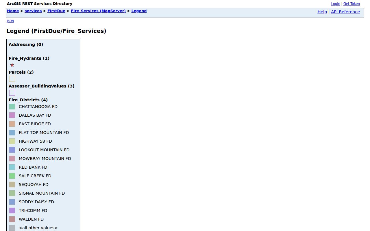
The legend supports ZIP map context. It does not create an address-based person search, and the standalone viewer’s current identify fields require a fresh capture before they can be described.
Hamilton County ZIP Code Boundary Mismatch
One address can have a postal city, a county municipality, a parcel, a precinct, and a neighborhood association that do not share the same boundary. Ooltewah and Soddy Daisy are useful illustrations: an official postal label helps deliver mail, while the county map and the relevant municipal office answer separate geographic questions. A ZIP code can also cross a county research boundary, as the Cleveland-area cue for 37311 demonstrates.
| Boundary | Best source | Meaning |
|---|---|---|
| Postal delivery | USPS exact-address result | Mailing standard and postal city |
| County or municipal context | Hamilton County GIS boundary layers | Mapped government geography |
| Parcel or situs | Hamilton County Assessor | Tax and appraisal record context |
| Precinct | Election Commission breakdown | Election-cycle civic geography |
Boundary check. Do not use a ZIP code as shorthand for a neighborhood, city limit, parcel, precinct, or a person’s location. Check the source that governs the particular question.
Hamilton County ZIP Code Postal Examples
USPS office examples give a concrete postal reference without turning a ZIP into a municipal claim. The Ooltewah office is at 9301 Ocoee Street and uses 37363-9998. The Soddy Daisy office is at 10575 Dayton Pike and uses 37379-9998. These are official-office examples, not a statement that every address carrying either ZIP is in the same municipality or county area.
For the Chattanooga urban and near-urban ZIP family, the research identifies several 374xx codes as postal context only. A neighborhood label still needs the map layer or local source that defines it. The mapbook’s post-office and municipal symbols make that distinction easier to see than a postal code alone.
Postal city and county municipality should be stored as separate fields during Hamilton County ZIP code research. A live USPS result may favor a postal city that differs from the place named on a county boundary layer. Likewise, a ZIP code can share a local label with an adjacent area while the parcel itself belongs in a different jurisdiction. The county mapbook is useful for comparing roads, municipal outlines, post offices, schools, cemeteries, hospitals, and public-safety symbols, but it does not replace the USPS address result.
Parcel records supply another separate layer. The Hamilton County Assessor search accepts street name, street number, parcel, or owner, and its observed results include parcel, situs address, owner, year, appraised value, square footage, type, sale date, sale price, and book/page. Those fields can help locate a parcel after a ZIP code is verified. They do not establish a delivery route, municipal label, or current presence at the site.
Note: Current USPS results control delivery wording, while archived routing tables are useful only as dated historical clues.
Hamilton County ZIP Code Voter Limits
Tennessee’s voter lookup is a constrained identity query, not a public ZIP-by-person tool. The paid Hamilton County voter-list request uses political-purpose certification and a $42 fee. Its documented filters include municipality, city council district, county commission or school-board district, state legislative district, registration dates, precincts, and election history options. It does not create an open ZIP-based person search.
For a civic address question, the Hamilton County precinct breakdown can search by address, precinct number or name, or polling place and can export results. Polling assignments may change, so retain the election context and query date.
Hamilton County ZIP Code Glossary
Postal and map terms sound alike but describe different systems. Separating them makes a ZIP code directory easier to use and avoids treating a delivery label as a complete location record.
- ZIP code
- A USPS postal routing geography used to standardize delivery.
- ZIP+4
- An added postal segment that refines a delivery route; it is not a neighborhood or parcel identifier.
- PO Box ZIP
- A code for post-office box service that may differ from a street-delivery code.
- Unique ZIP
- A special postal context that must be verified by USPS for the exact address or recipient type.
- Carrier route
- A postal delivery route, not a municipal or county boundary.
These terms help preserve what USPS can actually confirm: address standardization and postal routing.
Hamilton County ZIP Code Research Gaps
No consolidated public Hamilton County file for historical ZIP changes, street renumbering, annexation changes, or ZIP-boundary changes was found in the research. That gap matters. A historical map or directory may use a place label that differs from today’s USPS result, and a code may cover territory beyond the county. Label the record date and ask the responsible office for a specific historical or corrected-address record.
County GIS offers map and data request channels, and the Assessor provides parcel and situs context. For an emergency-address question, use the city or county addressing office rather than a search result. GIS notes that county addressing is assigned through GeoSpatial Technology on behalf of E-911 except in Soddy-Daisy, where the city is the documented exception. That operational detail is different again from a ZIP code or postal city.
Use the research date, portal URL, access condition, and whether the result was a postal form, map layer, parcel record, or archive source. Those details make a later correction possible when a boundary or address standard changes.
Hamilton County ZIP Code Use Limits
The ZIP code directory is best for postal normalization and geographic orientation. It is not a resident roster. USPS does not confirm a person at an address, GIS does not identify occupants, and a parcel record has an owner role rather than an occupancy finding. For historical questions, preserve the source, date, and role before comparing a directory, deed, map, or obituary entry.
Lawful use. Use postal and map records for personal, lawful research, local history, or an address question. Do not use information from these sources to stalk, harass, intimidate, or harm anyone.